Lost Coast — King Range
Three days from the Mattole trailhead to Black Sands Beach at Shelter Cove, 24.6 miles down the stretch of California coast too rugged for Highway 1 to follow. Two nights on the sand between the King Range and the Pacific, the whole route timed around three tide gates that only open on a falling tide.
- Days
- 3
- Region
- King Range NCA, Northern California
- Grade
- Moderate
- High point
- 12,300 ft
Day-by-day itinerary
Four days, start to finish
Los Angeles to 12,300 ft and back, with the altitude taken a step at a time.
Day 1
Day 1
Mattole Trailhead · Punta Gorda
Mattole to Punta Gorda
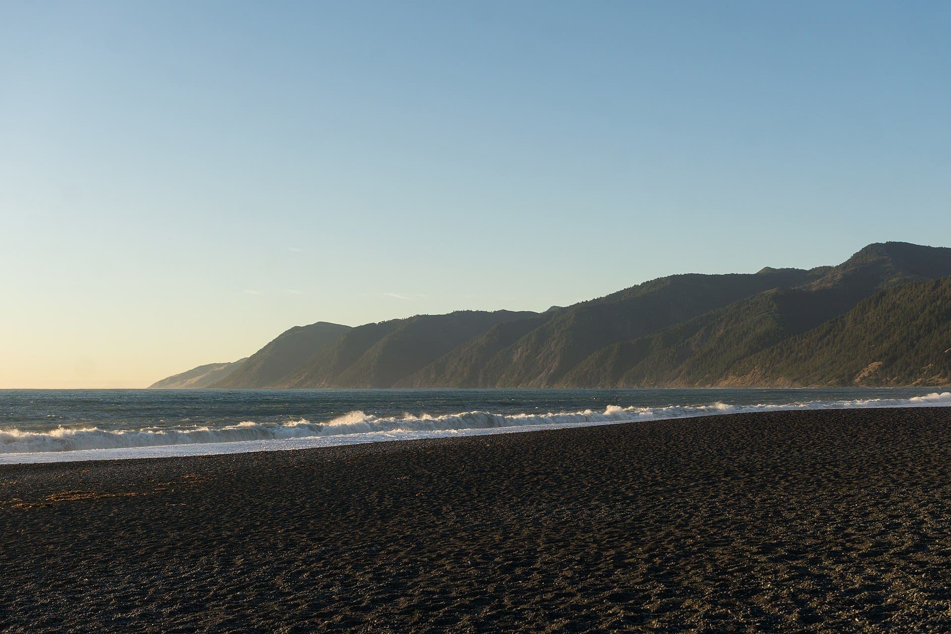
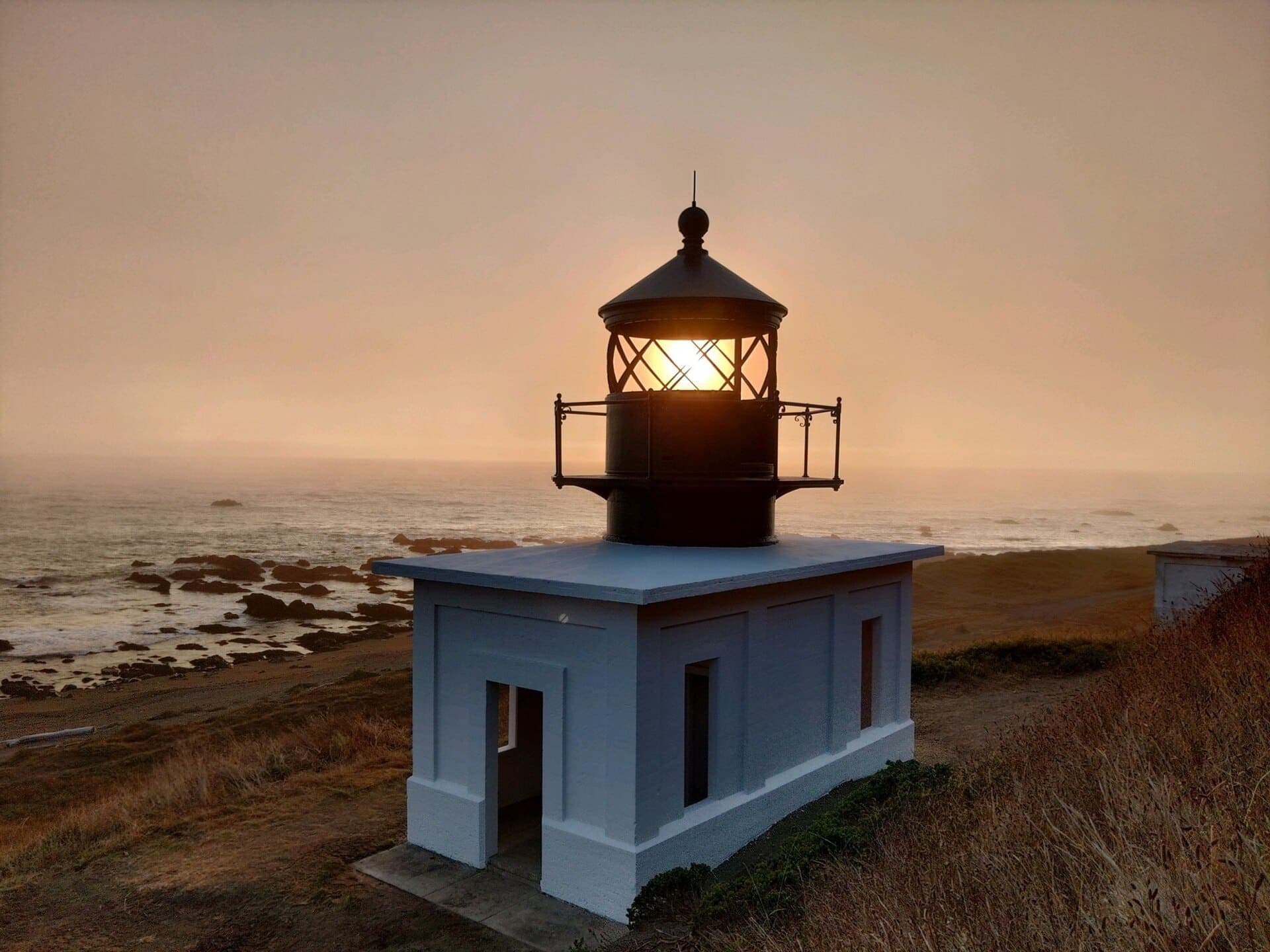
We start at the Mattole trailhead, where the river meets the sea, and walk south with the King Range rising steep and treeless straight out of the surf. The beach is open sand and cobble for the first few miles, then narrows below Punta Gorda into a stretch that floods out completely at high water — we time it to an outgoing tide of 3 ft or less. The old Punta Gorda Lighthouse stands above the surf, long since abandoned and the only building on this stretch of coast. Camp is on the sand at sea level, within sound of the lighthouse and the surf.
- Distance
- ~8 mi
- Elevation
- sea level
- Tide gate
- Punta Gorda
Day 2
Day 2
Sea Lion Gulch · Randall Creek
Sea Lion Gulch to Randall Creek
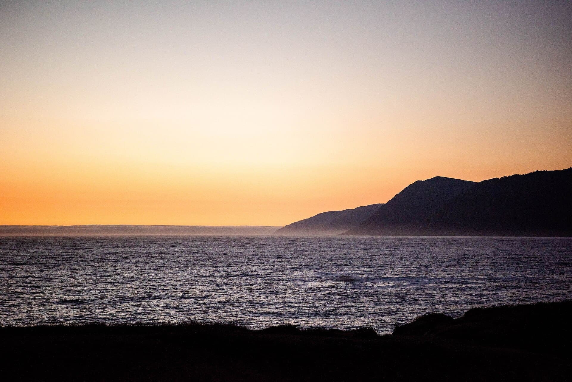
The middle day carries the trip's other big tide gate, the stretch from Sea Lion Gulch to Randall Creek, where bluffs drop straight into the water and there is no high route around. We wait for the tide to fall below 3 ft and move through at a walk, boulder-hopping where the sand gives out. Seals haul out on the rocks along here and want the room left to them. Beyond the gulch the beach widens again into black sand and easier walking, and we make a second camp at sea level with the King Range still climbing straight up behind the tents.
- Distance
- ~9 mi
- Elevation
- sea level
- Tide gate
- Sea Lion–Randall
Day 3
Day 3
Miller Flat · Gitchell Creek · Shelter Cove
South to Black Sands Beach
The last tide gate, Miller Flat to Gitchell Creek, comes early and clears the same way as the other two: an outgoing tide of 3 ft or less, no reason to rush it. South of there the trail settles into a long final stretch of sand that pulls at the legs more than anything steep could. Black Sands Beach opens out wide at Shelter Cove, and the full 24.6 miles from Mattole ends where the sand meets the road. Boots are wet, sand is everywhere, and the King Range is behind us.
- Distance
- ~7.6 mi
- Elevation
- sea level
- Tide gate
- Miller–Gitchell
Departures
Dates are set by snowpack and permit quotas rather than preference. Places are held in the order enquiries arrive.
- Places available6 left
- Places available8 left
- Places available8 left
- Places available8 left
What it costs
Priced per person and set by group size — the guide is the same either way, so a smaller party carries more of the cost. Every tier includes the permit, the guide, group kit and all meals on the trail.
- 2-3 walkers$1,795per person
- 4-5 walkers$1,395per person
- 6-8 walkers$1,150per person
A 25% deposit reserves a place; the balance is due 60 days before departure.
Not included
- Travel to and from the meeting point
- Personal gear — boots, sleeping bag, pack, waterproofs
- Trip insurance, which we strongly recommend
- Guide gratuity, customary at 10-15% and entirely optional
- Alcohol, and anything bought in town
Before you book
- Wilderness permit reserved and carried for the group
- Guide with wilderness first-aid certification
- Group camp kit — tents, stoves, bear canisters
- All meals from day one lunch to day three breakfast
- Tide table and route timing planned around the three tide gates
- Shuttle transport between the Mattole trailhead and Shelter Cove
Ready to walk it?
Tell us your dates and party size. Permits open six months ahead and the reservable places go quickly.
Ask about dates