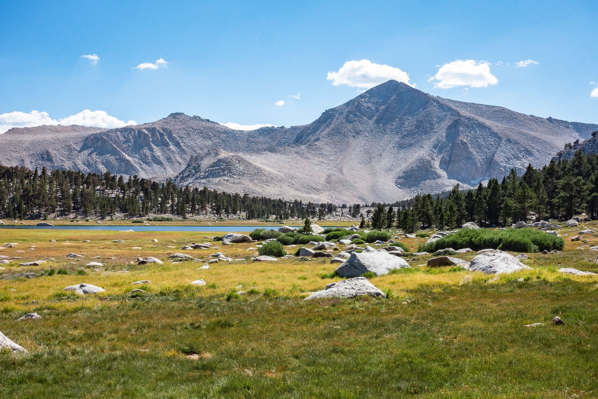
Sierra Nevada — Cottonwood Lakes
Four days from Los Angeles to the granite basins above 11,000 ft. One night in the Alabama Hills to take the altitude gently, two at the Cottonwood Lakes, and a high day on the passes before the run back down US-395.
- Days
- 4
- Region
- Eastern Sierra, California
- Grade
- Moderate
- High point
- 12,300 ft
Day-by-day itinerary
Four days, start to finish
Los Angeles to 12,300 ft and back, with the altitude taken a step at a time.
Day 1
Day 1
US-395 north · Lone Pine
Los Angeles to the Alabama Hills
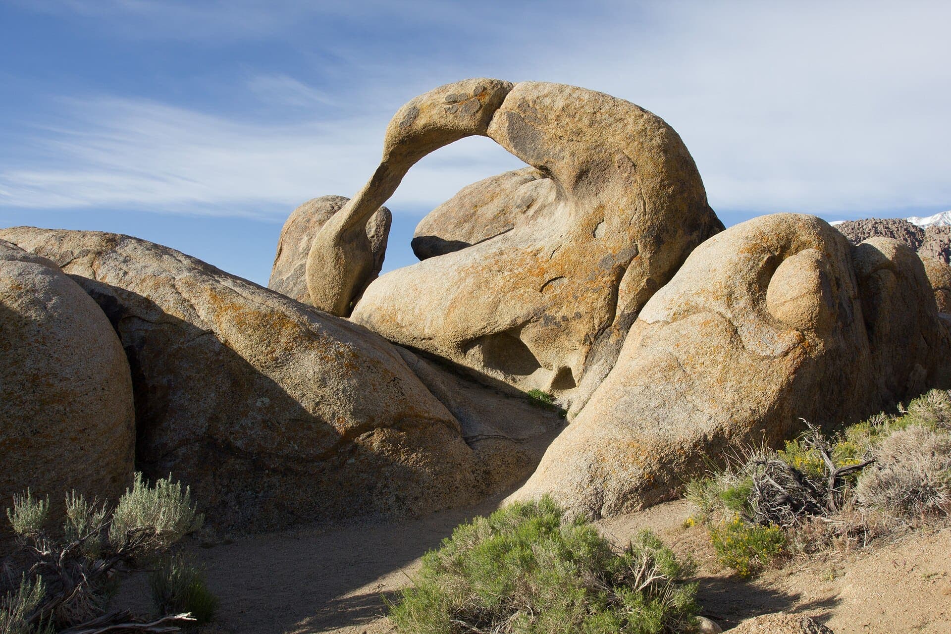
We leave the city in the morning and run north up US-395 with the Sierra escarpment building on the left. Camp is among the weathered granite the westerns were shot in, and we walk the Mobius Arch loop for last light on the Whitney crest. Sleeping at about 4,500 ft is the point of the day — acclimatisation starts a night before altitude matters.
- Drive
- ~210 mi
- Time
- 3.5–4 h
- Camp
- ~4,500 ft
Day 2
Day 2
Horseshoe Meadows Road · Cottonwood Lakes Trail
Up to the Cottonwood Lakes
Horseshoe Meadows Road climbs roughly 24 miles of switchbacks out of Lone Pine to the trailhead at 10,050 ft, and that is where the vehicles stay. From there it is about five miles and 1,200 ft through foxtail pine and open meadow into the Cottonwood Lakes basin. We make camp by the water at around 11,200 ft.
- Trailhead
- 10,050 ft
- Hike
- ~5 mi · +1,200 ft
- Camp
- ~11,200 ft
Day 3
Day 3
New Army Pass · Cottonwood Pass · Chicken Spring Lake
A day on the passes
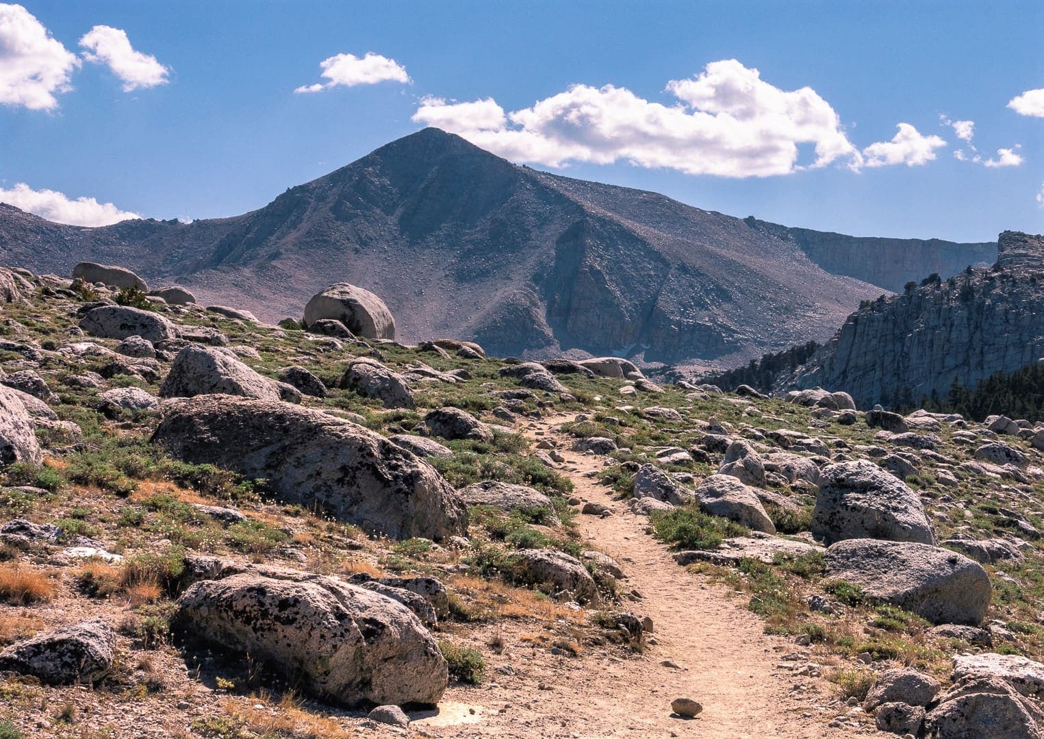
A full day from camp with the packs left behind. Either New Army Pass at 12,300 ft, looking over the drop into Sequoia, or west over Cottonwood Pass at 11,140 ft to Chicken Spring Lake. Strong parties can add Mount Langley — 14,032 ft, the ninth-highest in California, non-technical but a long day on loose sand and rock. Second night at the lakes.
- New Army Pass
- 12,300 ft
- Cottonwood Pass
- 11,140 ft
- Langley (option)
- 14,032 ft
Day 4
Day 4
Cottonwood Lakes Trail · US-395 south
Out, and south
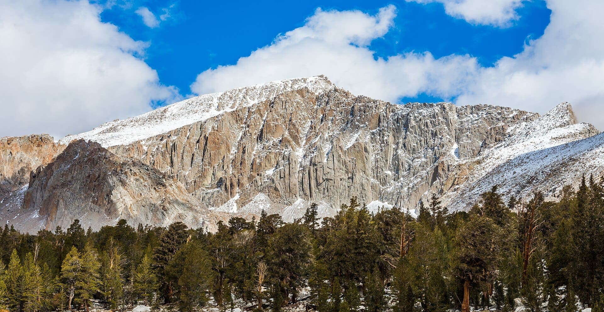
An early walk out to the trailhead while the basin is still cold, then 5,500 ft of descent down Horseshoe Meadows Road with the whole Owens Valley opening underneath. Lunch in Lone Pine and south on US-395 to Los Angeles.
- Hike out
- ~5 mi
- Descent
- −5,500 ft
- Drive
- ~210 mi
Ride in, or send the packs ahead
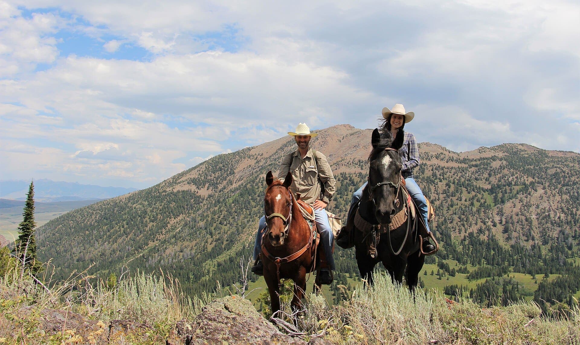
Cottonwood Pack Station sits at the end of Horseshoe Meadows Road, right beside the trailhead, and runs day rides, half-days and fully outfitted trips into the Golden Trout Wilderness and beyond. Stock can carry camp up to the lakes so the group walks in on day two with nothing but day packs — or you can ride the whole way. The Horseshoe Meadow Equestrian Camp next door has a corral and hitch rail at every site.
Departures
Dates are set by snowpack and permit quotas rather than preference. Places are held in the order enquiries arrive.
- Nearly full3 left
- Places available6 left
- Places available8 left
- Places available8 left
What it costs
Priced per person and set by group size — the guide is the same either way, so a smaller party carries more of the cost. Every tier includes the permit, the guide, group kit and all meals on the trail.
- 2-3 walkers$2,150per person
- 4-5 walkers$1,650per person
- 6-8 walkers$1,395per person
A 25% deposit reserves a place; the balance is due 60 days before departure.
Not included
- Travel to and from the meeting point
- Personal gear — boots, sleeping bag, pack, waterproofs
- Trip insurance, which we strongly recommend
- Guide gratuity, customary at 10-15% and entirely optional
- Alcohol, and anything bought in town
Before you book
- Wilderness permit reserved and carried for the group
- Guide with wilderness first-aid certification
- Group camp kit — tents, stoves, bear canisters
- All meals from day one lunch to day four breakfast
- Alabama Hills camping permit and site
- Transport from Los Angeles and back
Ready to walk it?
Tell us your dates and party size. Permits open six months ahead and the reservable places go quickly.
Ask about dates